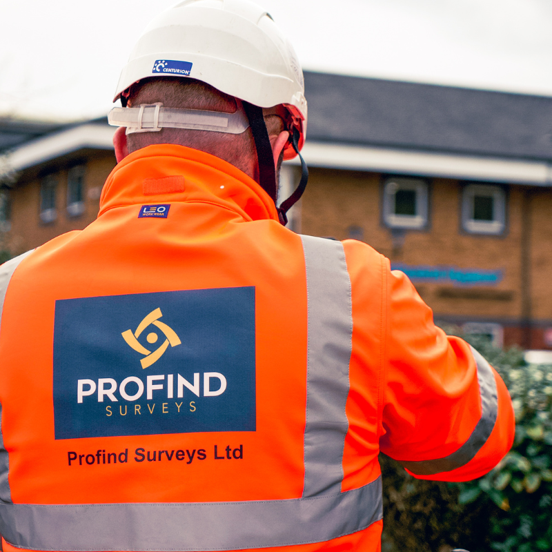
Local Government: Survey data councils can trust — for safer works and fewer surprises.
Profind Surveys supports Local Government projects with clear, usable surveys that reduce risk, protect programmes, and help you plan works properly.
- Joined-up survey support across utilities, topo, CCTV drainage, GPR and drone
- Practical outputs that support design, procurement and delivery teams
- Honest guidance before works start, so you scope it right first time
This is for…
- Highways and public realm teams planning maintenance, resurfacing, active travel or junction upgrades
- Housing and regeneration teams managing estate works and refurb programmes
- Property, estates and FM teams planning refurb, extensions or condition-led works
- Framework and procurement leads who need dependable suppliers and clean outputs
If any of this sounds familiar…
- You’re working with incomplete or conflicting records and nobody wants to “guess”
- You’ve had works stopped because something “wasn’t on the plan”
- You need survey results that are easy to use (not vague reports that cause more questions)
- You want suppliers who communicate clearly and meet expectations
Our Approach
Built around how councils plan and deliver
Local Government projects run on deadlines, budgets, public safety and scrutiny. You need survey work that’s scoped properly, delivered cleanly, and understood by the people using it.
How we work with Local Government


01
Consultation before any works to understand the site, the risk, and what the data will be used for
02
Right survey, right time so you don’t overbuy — and you don’t miss what matters
03
Clear deliverables your design and delivery teams can act on
04
Support throughout so you aren’t chasing for answers and fixes
Our Services
Surveys we commonly deliver for councils
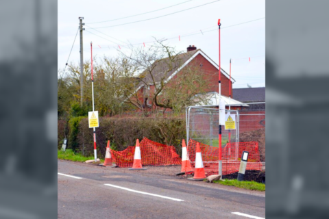
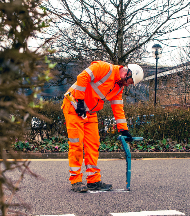
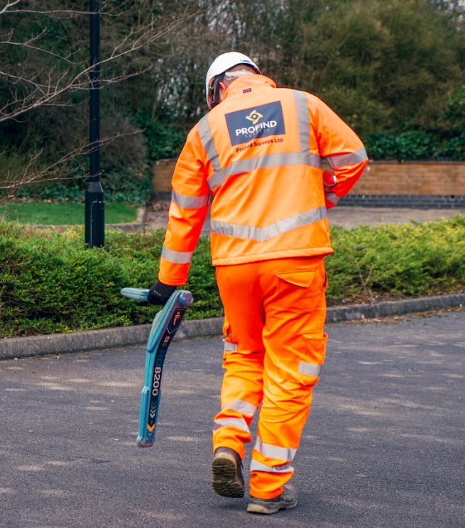
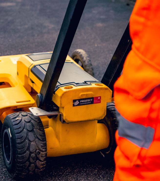
PAS128 utility surveys
to reduce underground risk before you dig
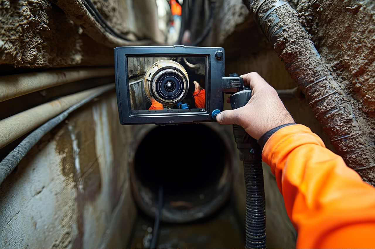
CCTV drainage surveys
to understand drainage condition and connectivity

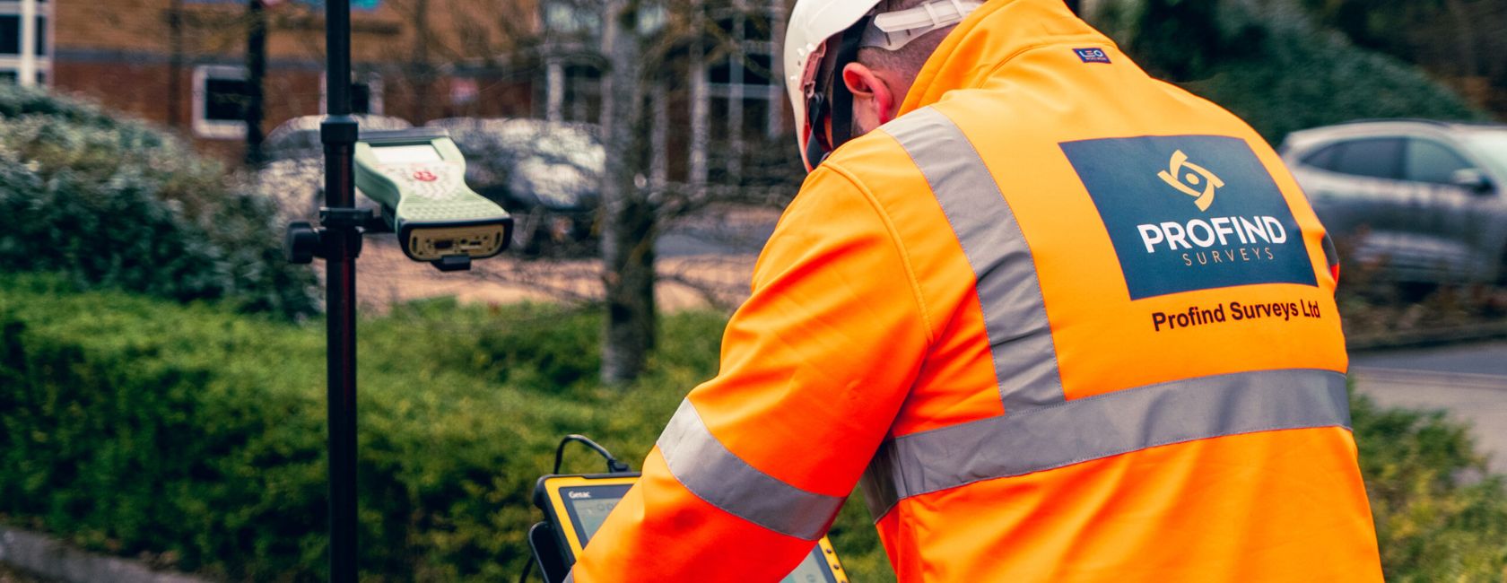
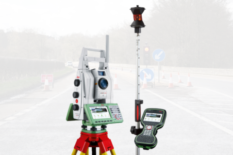
Topographical survey
for design, drainage, levels and setting out

CAD drawings
to support design packs and handovers

GPR surveys
when conditions and scope make it suitable

Drone surveys
useful for access, progress, and larger sites
GS6 assessments
where overhead line clearance is a risk
What you get
- A clearer picture of what’s on site, above and below ground
- Fewer last-minute surprises and less disruption once works start
- Survey outputs that help you brief designers, contractors and stakeholders with confidence
Project 1
Client quotes

Before/after drawings
Proof Points
See Our Results
- A well-designed utilities survey can detect up to 95% of utilities (site conditions apply)
- PAS128 work supports better planning by providing a comprehensive understanding of what’s below ground
- Better survey data helps minimise disruption and delays, and mitigate utility strike risk
Lorem Ipsum
What councils value about working with Profind

We start with a consultation
so we understand what you need and why

We tailor the approach
to the site and the project, not a one-size scope

We set expectations honestly
(no unrealistic claims about what any survey can “guarantee”)
Lead Magnet Download
Download our Local Government Survey Brief Pack
A short pack you can share internally (and with contractors) to help you:
- scope surveys properly
- reduce variations and re-visits
- get outputs that are usable for design and delivery
You don’t need more PDFs. You need certainty you can build from.
FAQs
Do you work direct with councils or via contractors/frameworks?
Both. We support Tier 1/2 contractors and can also work directly where appropriate.
What surveys do we actually need for this project?
That’s what the scoping call is for. We’ll recommend what fits the site risk and your end goal (design, enabling works, maintenance, handover).
Can you combine surveys so we don’t manage multiple suppliers?
Yes. Profind Surveys offers a joined-up set of surveys including PAS128, topo, CCTV drainage, GPR, drone and CAD drawings.
Can you guarantee you’ll find every service?
No. Ground conditions and utility type affect detection. We’re clear about what’s confident, what’s uncertain, and what to do next.
Where do you cover?
We’re based in Tamworth and focus on the Midlands.