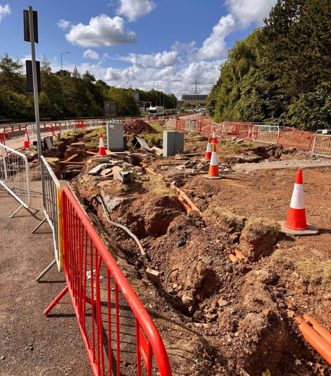
A utility clearance survey provides targeted detection and verification in specific work areas, typically aligned to an excavation footprint, trial holes, or enabling works. Outputs are referenced to an agreed coordinate system and vertical datum where required, with deliverables structured to support construction decisions and permit-to-dig processes.
When excavation proceeds without verified clearance, the risk of strikes, stoppages, redesign and stakeholder escalation increases. Profind Surveys delivers controlled, quality-checked clearance outputs that help site teams proceed with greater confidence.
Clearance requirements are agreed prior to site attendance, including:
This prevents ambiguity and ensures the clearance activity supports the planned works.
Where referencing is required, survey control is verified so clearance outputs align to the agreed coordinate system and vertical datum.
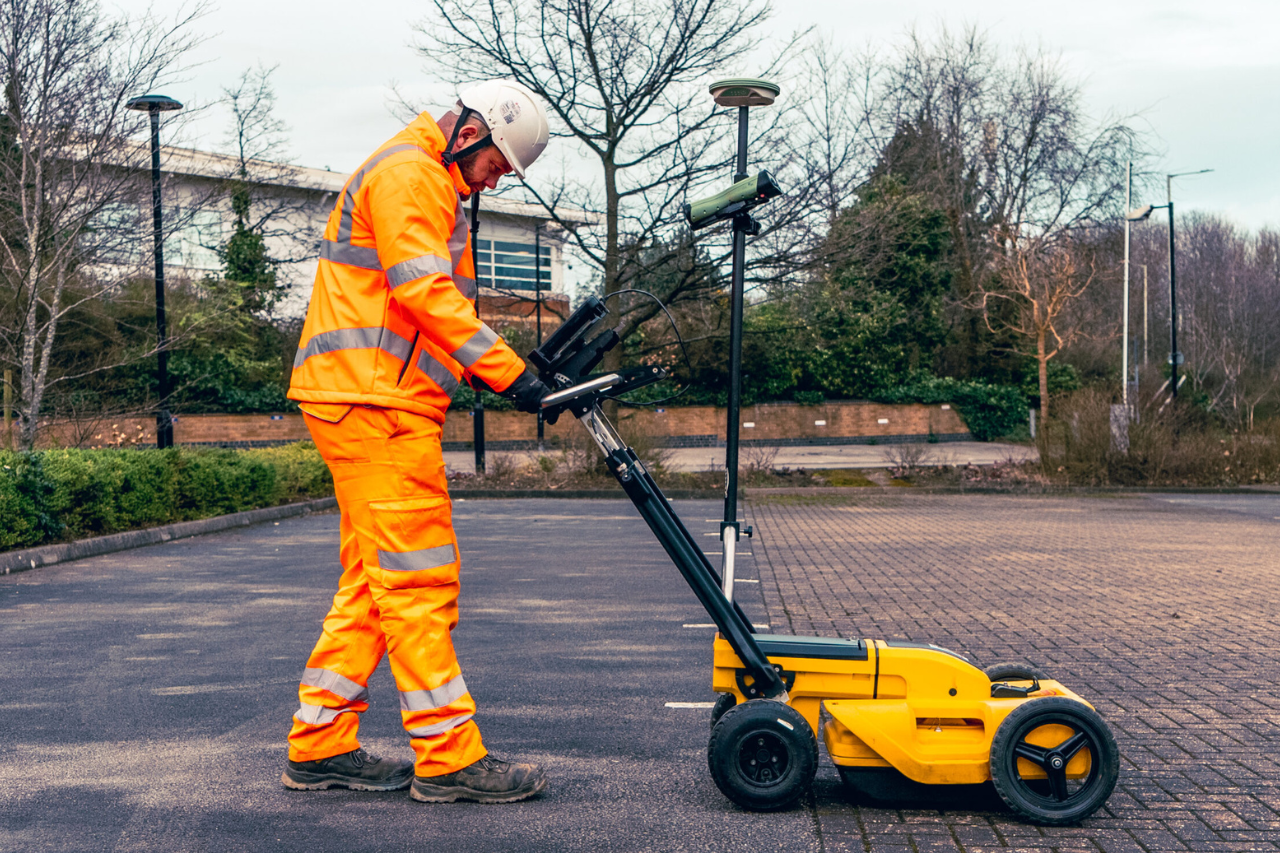
Detection methods are selected based on site conditions, risk profile and the nature of the proposed excavation. Clearance is undertaken systematically within the defined work area, focusing on identifying detectable services and confirming their likely position relative to the excavation footprint.
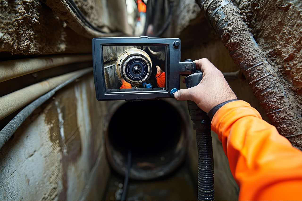
Where trial holes or verification points are part of the clearance strategy, outputs are structured to support traceability and decision-making on site.
All datasets undergo internal QA prior to issue, including:
Outputs are structured for immediate use by site teams and may include:
Clearance plans or annotated outputs aligned to the defined dig area
2D/3D CAD deliverables layered to agreed specification (where required)
Supporting notes describing methodology, scope and limitations
Metadata confirming coordinate system, datum, extent and date of capture
Optional site markings and photo records where defined in scope
All deliverables clearly state clearance limits, access constraints, and what has and has not been verified.
A properly specified and quality-assured utility clearance survey:
Reduces utility strike risk during excavation and enabling works
Improves confidence in permit-to-dig decisions and site planning
Minimises stoppages caused by unexpected services
Supports safer sequencing around high-risk areas
Reduces rework by verifying constraints before committing to excavation
Provides traceable outputs for stakeholder assurance
Where required, utility clearance surveys can be coordinated with:
to link clearance to wider site mapping
where drainage interfaces affect excavation

to maintain consistent referencing and control

for structured CAD integration
A single verified control framework ensures consistency across disciplines where applicable.
Profind Surveys starts with a consultation so we understand your requirements and recommend the right approach for your programme and deliverables.


Clearance scope aligned to the excavation footprint, programme and risk.
Verified control and documented referencing where required.
Quality-assured outputs issued in structured formats suitable for site use.
Ongoing technical clarification where required to support safe delivery.
It’s a targeted survey to help confirm whether an area is clear of detectable utilities (or to identify what’s present), so you can plan intrusive works more safely.
Not always. PAS128 is a utilities mapping standard. Clearance is often narrower and tied to a specific work activity and area. We’ll advise what’s right on the scoping call.
No. Nobody can. We explain confidence, limitations, and what exposure/trial holes may still be needed.
We use appropriate methods (often EML and/or GPR). Ground conditions and site constraints affect what’s suitable.
Yes. We can provide 2D CAD drawing packs where required.
Profind Surveys is based in Tamworth and focuses on the Midlands.
If you require utility clearance survey outputs delivered under defined methodology and structured QA, contact Profind Surveys Ltd to discuss your dig areas, programme and constraints.