Design work involving existing structures relies on accurate dimensional information. In many cases, available drawings are incomplete, outdated or do not reflect alterations that have occurred during the life of the building.
Measured building surveys provide reliable geometric information describing the actual configuration of the structure so that design development can proceed using verified dimensional data.
Building geometry is captured using a combination of laser scanning, total station measurement and control surveys depending on the complexity and accessibility of the structure.
Survey observations are referenced to a verified control framework before the building geometry is interpreted and developed into digital models. During modelling, the focus is on representing the actual measured geometry of the structure, including deviations from nominal dimensions that may affect design coordination.
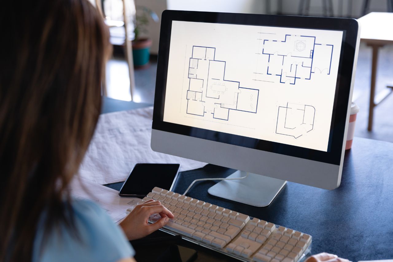
Measured building surveys are developed into structured digital datasets suitable for architectural, structural and engineering design.
Typical outputs include:
Floor plans, elevations and sections.
Roof plans and façade geometry.
3D building models for design coordination.
Structured point cloud datasets.
These deliverables allow design teams to work from a reliable geometric representation of the existing structure.
Profind Surveys starts with a consultation so we understand your requirements and recommend the right approach for your programme and deliverables.


Clearly defined scope aligned to survey scale and intended use.
Validated geometry captured to agreed accuracy and tolerance.
Quality-assured deliverables issued in structured CAD formats.
Ongoing technical clarification where required.
If you require measured building survey data delivered under defined methodology and structured QA, contact Profind Surveys Ltd to discuss your project requirements.
To confirm accurate area figures for planning, budgeting, pricing, leases, space planning, and stakeholder sign-off.
Yes. We’ll confirm exactly what needs measuring on the scoping call.
We can provide both, depending on what you need. CAD outputs are available where required.
It depends on the size and access. We confirm timescales on the scoping call.
Profind Surveys is based in Tamworth and focuses on the Midlands.