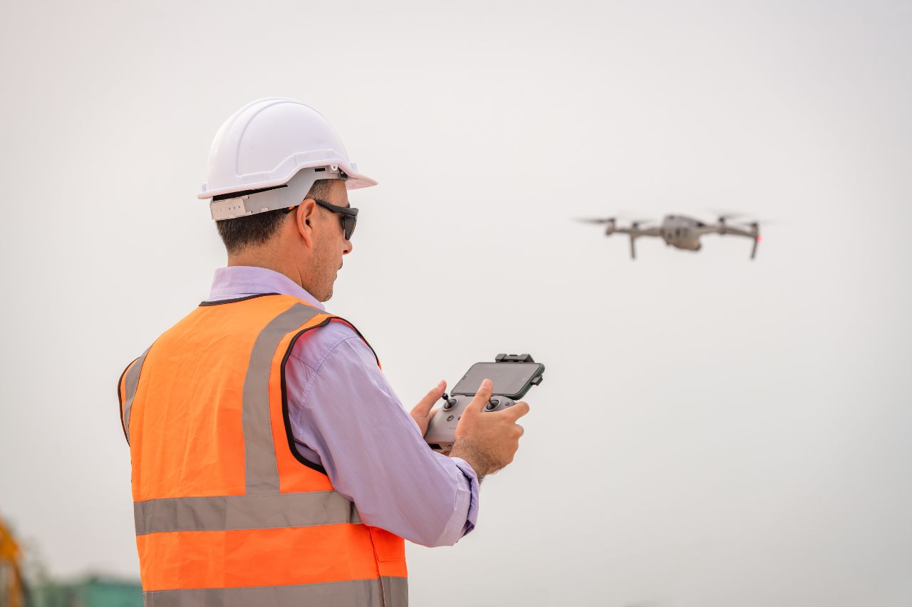
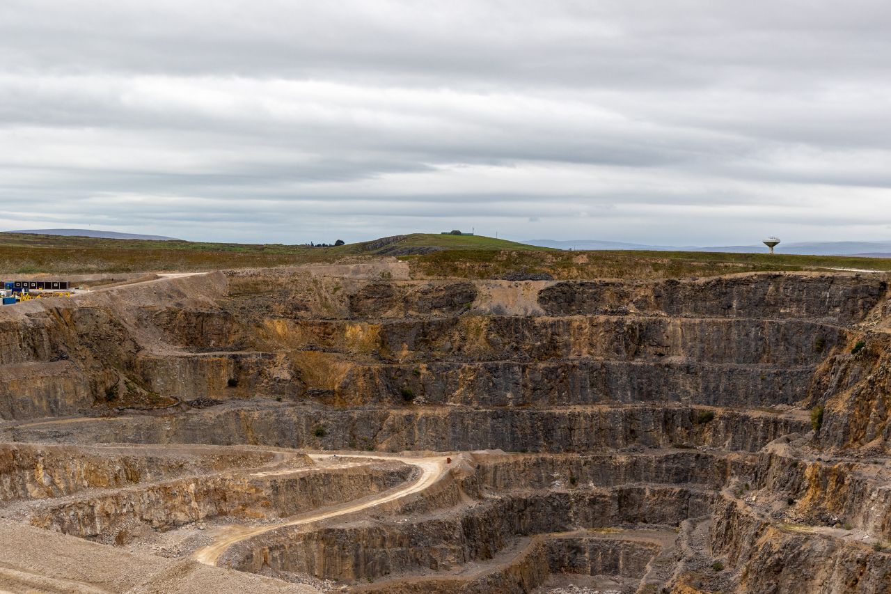
A drone survey uses an Unmanned Aerial Vehicle (UAV) to capture photographic and spatial data which can be processed into controlled outputs such as orthomosaics, point clouds and surface models. Using an agreed coordinate system and vertical datum, supported by a defined ground control strategy, UAV datasets can provide reliable measurement at scale for sites that are large, hazardous, or difficult to access.
When aerial capture is completed without rigorous control, defined accuracy, or transparent deliverables, the outputs can be visually impressive but technically unreliable. Profind Surveys delivers UAV capture under defined methodology with verified referencing and quality checks, so the data can be used confidently for planning, measurement and reporting.
Survey requirements are agreed prior to mobilisation, including:
This prevents ambiguity and ensures outputs match your decision needs.
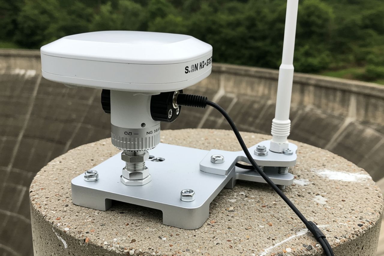
A ground control framework is established or verified before data capture where accuracy is required. Control is referenced to the agreed coordinate system and vertical datum, and flight planning is aligned to resolution requirements and topographic variation across the site.
UAV datasets are processed into measurable outputs using a repeatable workflow. Where UAV capture is used for ongoing comparison, the control framework and methodology are maintained to support like-for-like analysis between survey epochs.
All datasets undergo internal QA prior to issue, including:

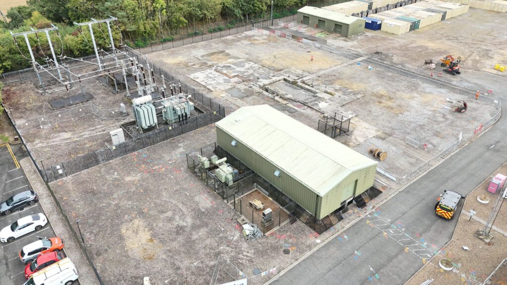
Outputs are structured for immediate integration into planning and reporting workflows and may include:
Orthomosaic / rectified imagery (where required)
Point clouds (where specified)
3D surface models / DTMs and contours
Topographical outputs derived from UAV data where appropriate
Photo and video outputs for progress capture and inspection
BIM-compatible / model-ready outputs where specified
Metadata confirming coordinate system, datum, extent and date of capture
All deliverables clearly state survey limits, control reference, and intended use.
A properly specified and quality-assured UAV survey:
Where required, drone surveys can be coordinated with:
for periodic volume tracking and surface modelling

to tie aerial capture into a verified control framework
where movement or slope behaviour requires tracking

for structured CAD/BIM deliverables
A single verified control framework ensures consistency across all disciplines.
Profind Surveys starts with a consultation so we understand your requirements and recommend the right approach for your programme and deliverables.


Clearly defined scope aligned to purpose, tolerance and deliverable standards.
Verified control and documented datum to support reliable measurement.
Quality-assured outputs issued in structured formats suitable for CAD/model use.
Ongoing technical clarification and repeat-epoch consistency where required.
To capture site imagery quickly and safely, especially across large areas or hard-to-access zones, and support planning and reporting.
Not always. Drone outputs can support context and visuals. If you need detailed levels and features for design, you may still need a topo survey. We’ll advise on the scoping call.
Yes. Many clients use Profind for drone plus topo, PAS128 utilities, CCTV drainage, GPR and CAD outputs.
It depends on site access, scope, and programme. We confirm timings on the scoping call.
Profind Surveys is based in Tamworth and focuses on the Midlands.
If you require drone survey data delivered under defined methodology, verified control and structured QA, contact Profind Surveys Ltd to discuss your site, constraints and output requirements.