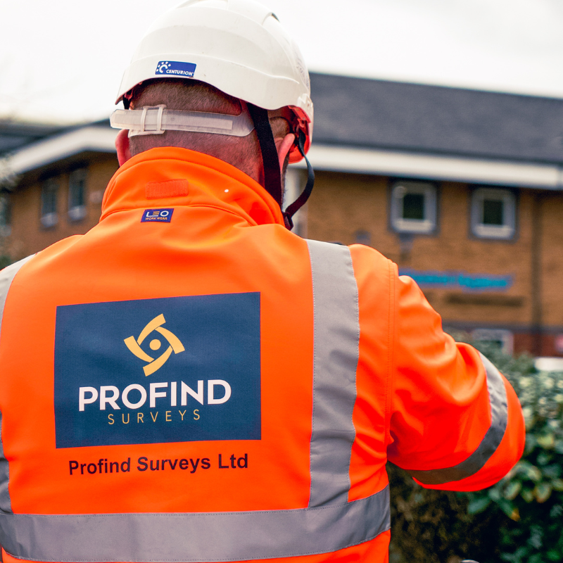
Profind Surveys begins with a consultation to understand your requirements and recommend the best approach for your site and your programme.


Scoping call (what you’re building, what decisions depend on the data, access, timescales)
Records review (what you have vs what’s missing)
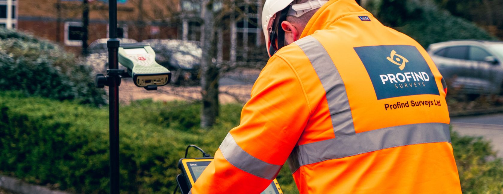
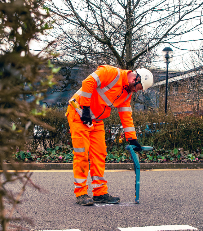
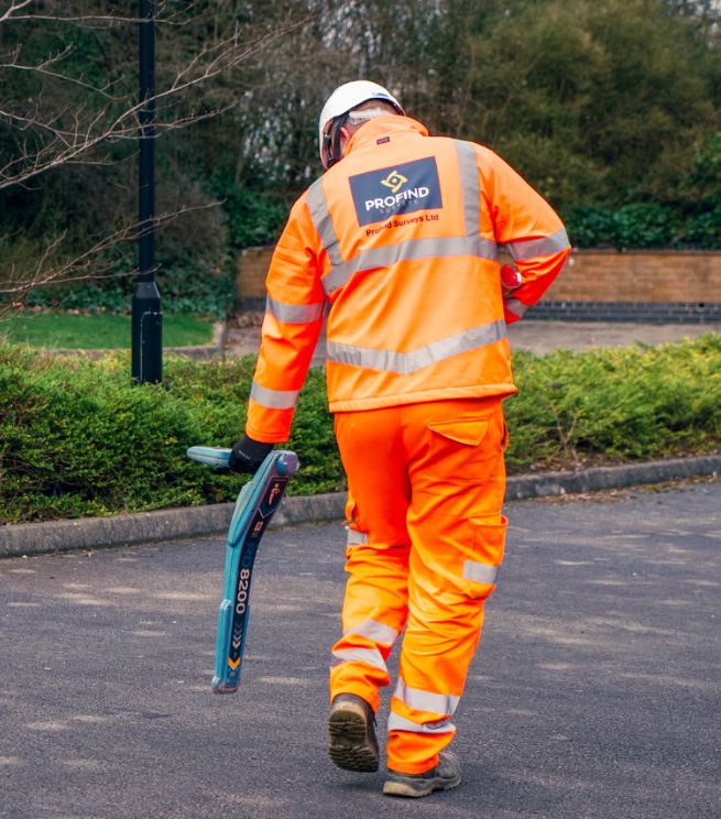
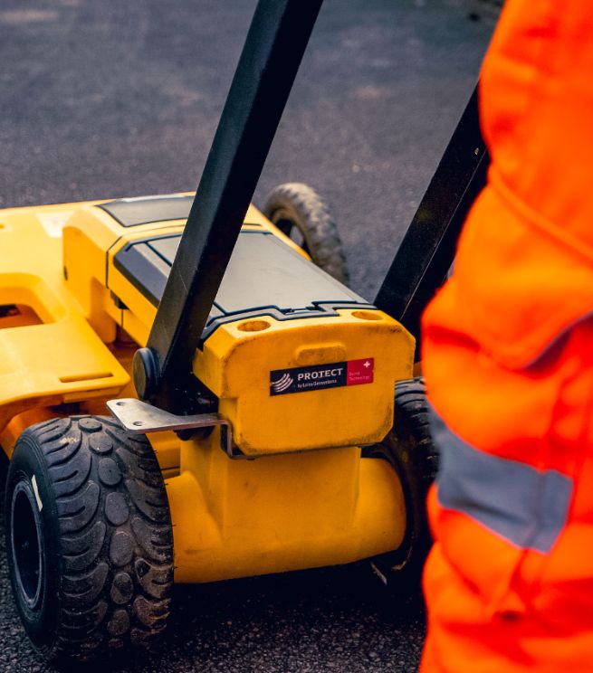
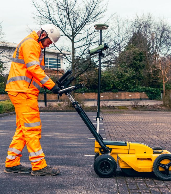
On-site GPR scanning (planned grids/lines to suit the risk area)
Advanced analysis using software to improve clarity and detail
Outputs + next steps (what we’re confident in, where limits exist, what you should do next)
Important: GPR isn’t magic. If the soil/ground conditions aren’t suitable, we’ll tell you early and recommend the right alternative or combination.


A one-page checklist to help you brief a GPR survey properly, so you:
To scan below the surface and help identify features and anomalies. It’s often used to support utilities mapping and reduce unknowns before intrusive works.
No. GPR can’t detect some services if they’re too small or too deep, and results depend on ground conditions.
When the environment isn’t optimal due to soil or ground conditions. We’ll advise during scoping.
Yes. GPR is often used alongside EML and records review, especially on complex sites.
Yes. We can convert GPR data into detailed 2D models and support integration with AutoCAD/BIM.
Profind Surveys is based in Tamworth and focuses on the Midlands.