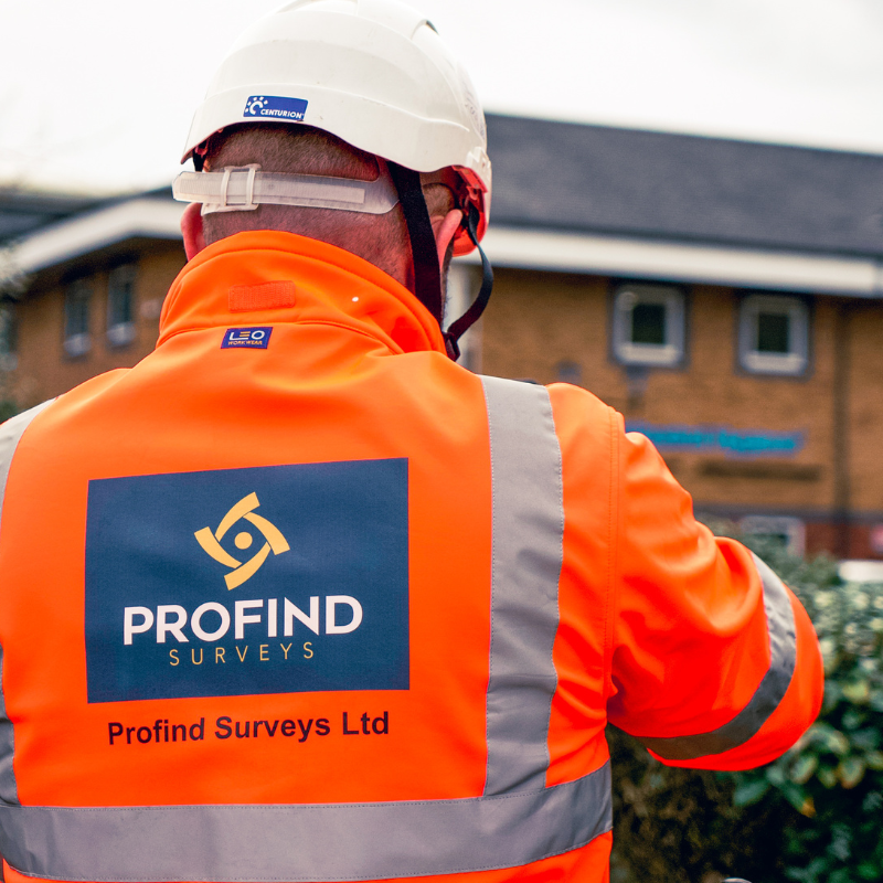
Profind Surveys has a specialist in-house utilities division using the latest kit and methods to trace and map underground services across gas, water, power, telecoms and drainage.


Scoping call (scope of works, plant, access, overhead line locations)Quick scoping call to understand your site, programme, access, and what you need the outputs for (design, enabling works, excavation, clearance).
Records review (what you’ve got vs what’s missing or conflicting).
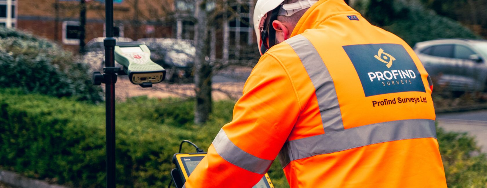
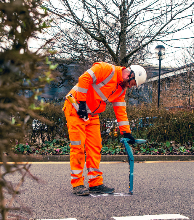
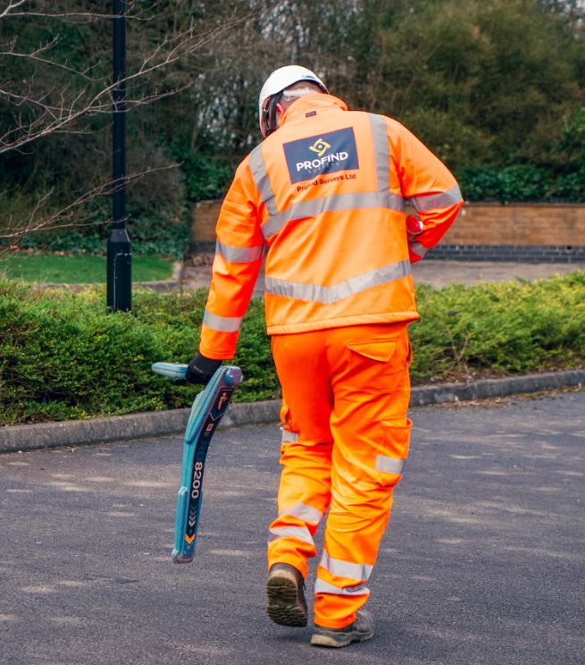
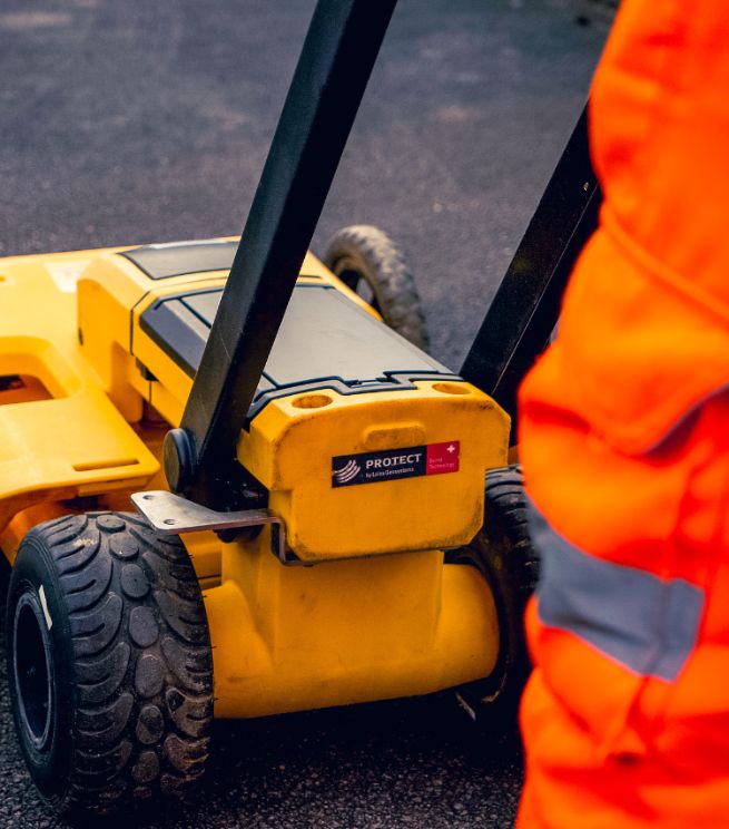
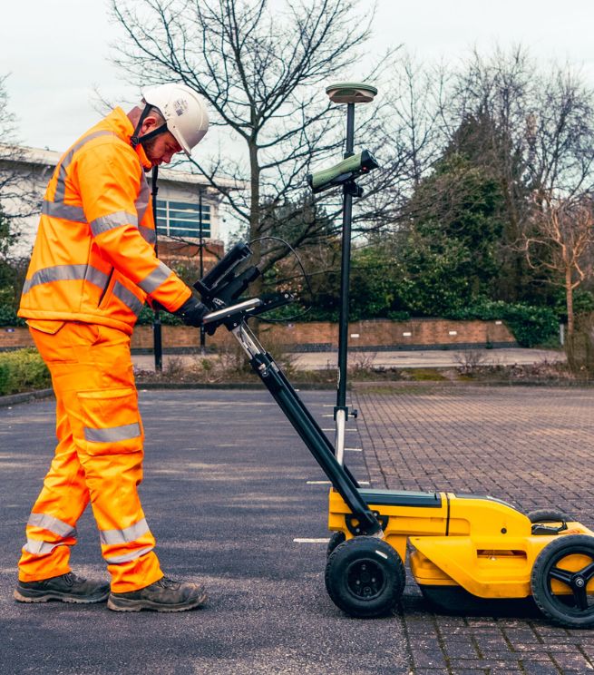
On-site detection using the right mix of methods (typically GPR + EML where suitable).
Quality checks + clear limitations (we’ll tell you where confidence is high, and where it isn’t).
Deliverables your team can use in planning and design (not a “PDF island”).

so we understand your requirements and recommend the right approach

based on site conditions, density of services, and your end use (design vs dig)

and realistic expectations (we explain limits, not gloss over them)
A simple checklist you can give your team before they book a utilities survey, so you get:
It’s a standard-led approach to detecting and mapping underground utilities, using suitable methods (often GPR and EML) and clear reporting.
No one can. A good survey can detect up to 95% in the right conditions, but soil, depth, material and site congestion matter.
We scope the site and choose the right mix. Records alone often leave gaps. EML and GPR each have strengths and limits.
Yes. We can convert GPR data into detailed 2D models and support integration with AutoCAD/BIM so the data gets used.
Depends on scope, access, and site constraints. On the scoping call we’ll confirm timescales and what you’ll receive.
Yes — Profind Surveys is based in Tamworth and focuses on the Midlands.