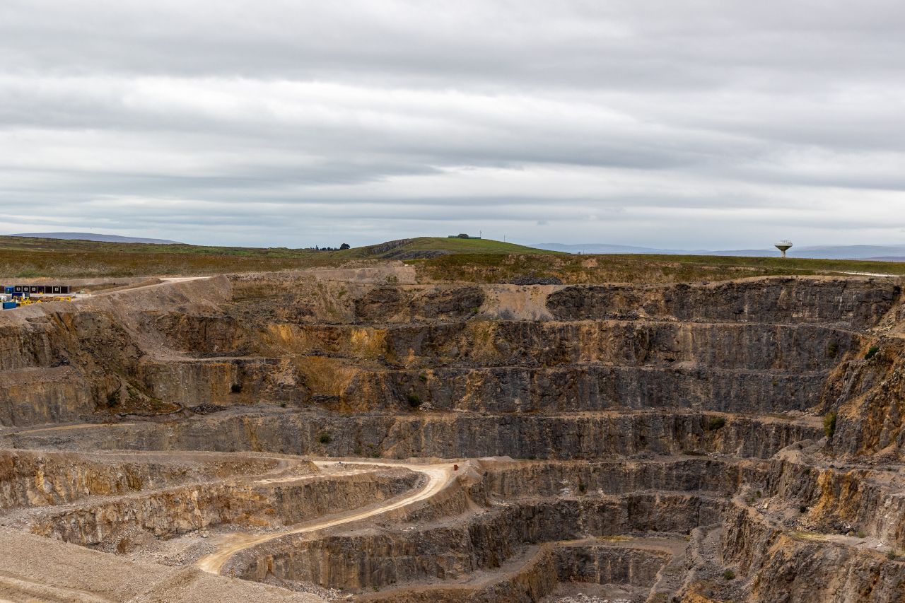
Quarry and landfill operations require regular spatial measurement to track extraction progress, manage material volumes and maintain accurate site records. Reliable survey data allows operators to quantify extracted material, assess remaining capacity and plan operational activities.
Survey measurement provides the basis for calculating material volumes and monitoring changes to site surfaces over time.
Sites are measured using a combination of GNSS observations, total station measurement, UAV photogrammetry or laser scanning depending on the scale of the site and required resolution.
The captured observations are processed into digital terrain models representing the measured ground surface. Successive survey datasets can then be compared to identify changes in surface geometry resulting from extraction or deposition activities.
Survey results are processed into digital datasets suitable for operational management and reporting.
Typical deliverables include:
Digital terrain models of the site surface.
Stockpile and excavation volume calculations.
Surface comparison datasets between survey epochs.
Topographical survey drawings of operational areas.
Material quantities are derived by comparing successive terrain models or by calculating volumes between measured surfaces and defined base surfaces.
These outputs provide quarry and landfill operators with reliable measurement of site surfaces and material quantities.
Profind Surveys starts with a consultation so we understand your requirements and recommend the right approach for your programme and deliverables.


Clearly defined scope including volume rules, outputs, frequency and tolerances.
Verified control and documented datum to maintain consistency across epochs.
Quality-assured deliverables issued in structured formats suitable for CAD/model workflows.
Ongoing technical clarification and repeat-survey consistency where required.
It depends on how quickly the site changes and what you need the data for. Some sites suit monthly cycles, others quarterly or milestone-based. We’ll recommend a practical cadence based on your objectives.
Yes, where stockpiles and calculation rules are defined in the scope. We’ll agree what is being measured and how it will be reported before survey.
Yes. The service is designed for like-for-like comparisons when control and methodology are consistent. We can provide change outputs and trend reporting where required.
Typically CAD deliverables and surface models, plus volume and comparison outputs if required. If you have preferred formats or CAD standards, we’ll align to them.
Yes. If settlement or movement is part of your risk profile, we can set up an agreed baseline and monitoring approach, then report change over time.
We’ll confirm access, safety requirements, site rules, and any restrictions during scoping, then plan the safest and most efficient approach.
If you require quarry or landfill survey data delivered under defined methodology and structured QA, contact Profind Surveys Ltd to discuss your site requirements and reporting needs.