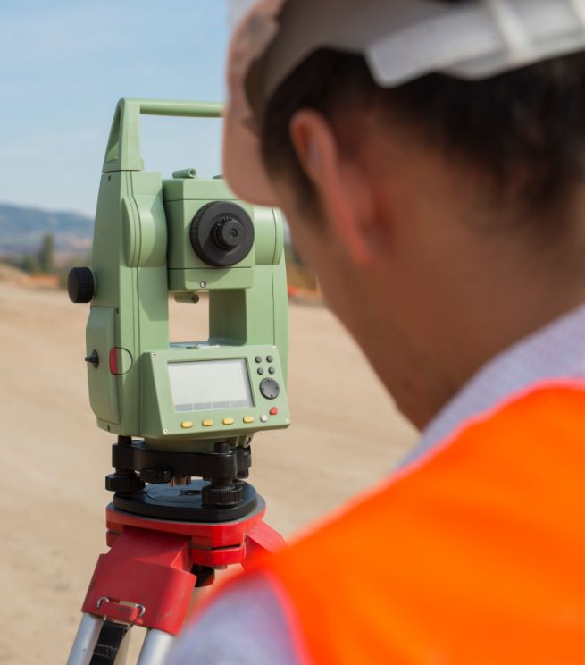
A topographical survey defines the measurable characteristics of a site including terrain, levels, features, boundaries and visible constraints all referenced to an agreed coordinate system and vertical datum.
Our surveys are undertaken in accordance with the principles set out in RICS guidance for measured surveys, ensuring clarity of scope, defined accuracy expectations and transparent deliverables.
When survey data is unclear, incomplete or poorly referenced, design and programme risk increases. Profind Surveys delivers verified and quality-checked outputs that can be relied upon throughout the project lifecycle.

Survey requirements are agreed prior to site attendance, including:
Site extent and level of detail.
Required accuracy and tolerance.
Coordinate system and vertical datum.
CAD / BIM integration requirements.
Deliverable format and layering standards.
This prevents ambiguity and reduces variation later in the programme.
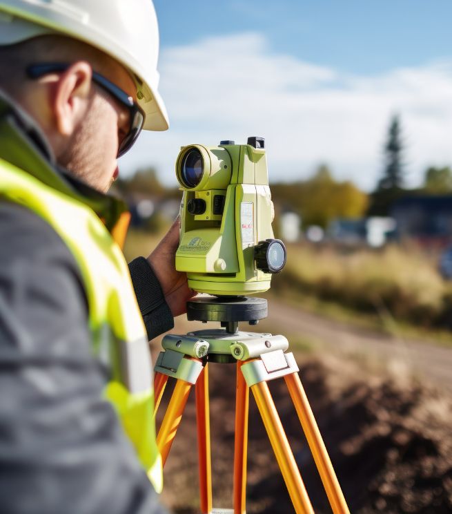
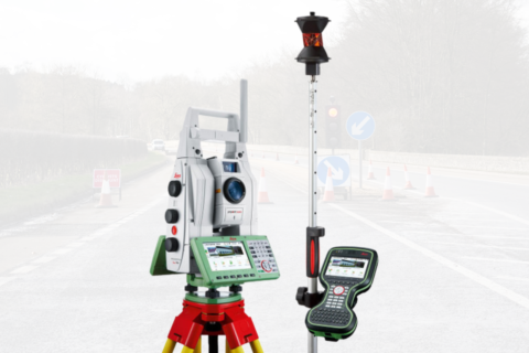
Survey control is observed during field operations, then fully processed, adjusted and validated before detailed survey data is computed and issued.
Measurement methods are selected according to required accuracy, site conditions and risk profile. Spot levels, breaklines, surfaces and features are captured systematically to ensure internal consistency and reliable surface modelling.
Where required, surveys are referenced to OSGB36 via OSTN15 / OSGM15 transformations or aligned to project-specific grid systems.
All datasets undergo internal QA prior to issue, including:
Verification of control and datum consistency.
Level checks and surface validation.
Feature coding and layer structure review.
Cross-checking for omissions or anomalies.
CAD model integrity checks.

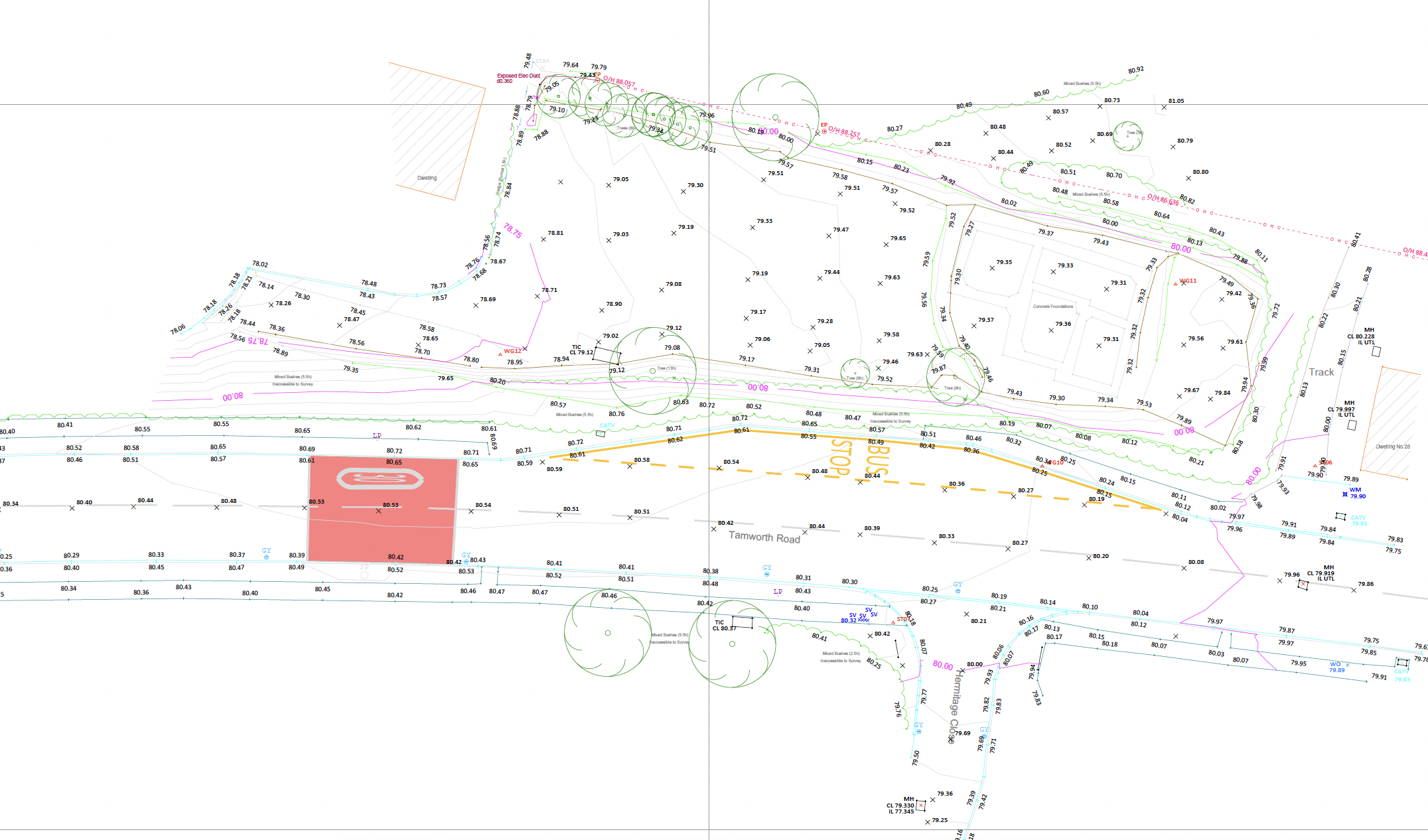
Outputs are structured for immediate integration into design workflows and may include:
2D CAD drawings layered to agreed specification.
3D surface models and contours.
Digital terrain models (DTM).
Structured data compatible with BIM environments.
Metadata confirming coordinate system, datum and survey extent.
All deliverables clearly state survey limits, control reference and date of capture.
A properly specified and validated topographical survey:
Reduces redesign caused by level discrepancies.
Supports accurate earthworks and drainage modelling.
Minimises boundary and interface uncertainty.
Provides a reliable spatial reference for subsequent survey disciplines.
Protects programme by reducing clarification cycles.
Where required, topographical surveys can be coordinated with:

A single verified control framework ensures consistency across all disciplines.
Profind Surveys starts with a consultation so we understand your requirements and recommend the right approach for your programme and deliverables.


Clearly defined scope aligned to RICS measured survey guidance.
Verified survey control and documented datum.
Quality-assured deliverables issued in structured formats.
Ongoing technical clarification where required.
It gives your team accurate site data (features and levels) to support design, planning, setting out and construction decisions.
Yes. We can provide 2D CAD drawing packages and support conversions (e.g., PDF to DWG) where needed.
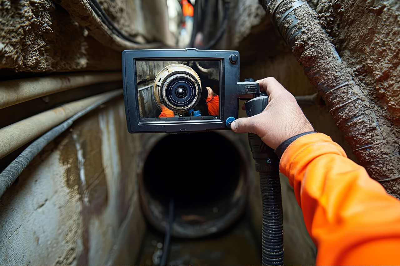
Yes. We can deliver topo alongside PAS128 utilities, CCTV drainage, GPR and drone surveys so you’re not managing multiple suppliers.
It depends on scope, access and programme. We confirm timings on the scoping call.
Profind Surveys is based in Tamworth and focuses on the Midlands.
If you require topographical survey data delivered under defined methodology and structured QA, contact Profind Surveys Ltd to discuss your project requirements.