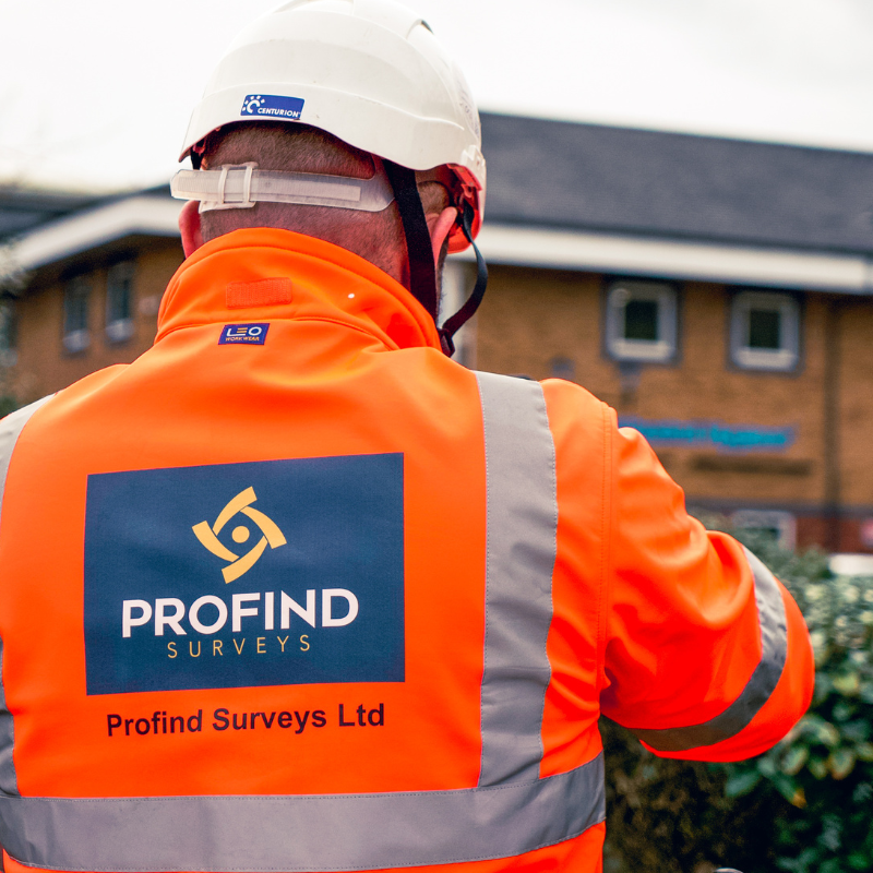
Profind Surveys starts with a consultation so we understand the work you’re doing and what “clear” needs to mean for that area and that activity.


Scope and risk check (work type, depth, area, access, programme, existing info)
Records review (we check what you’ve got and what’s missing/conflicting)
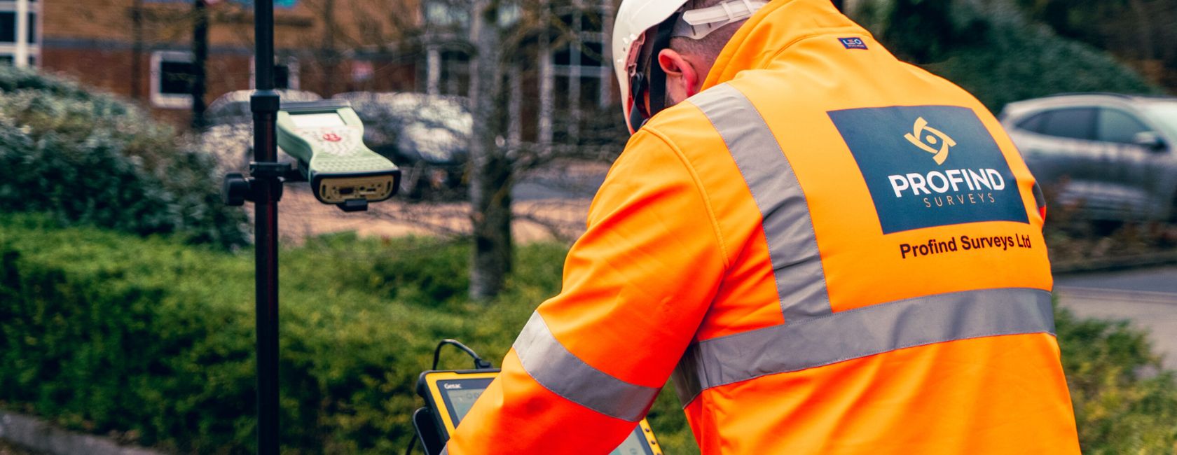
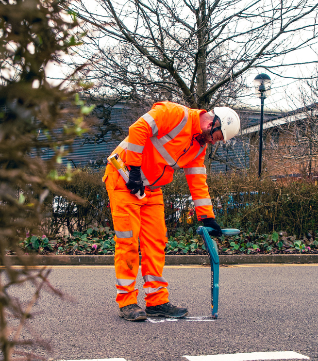
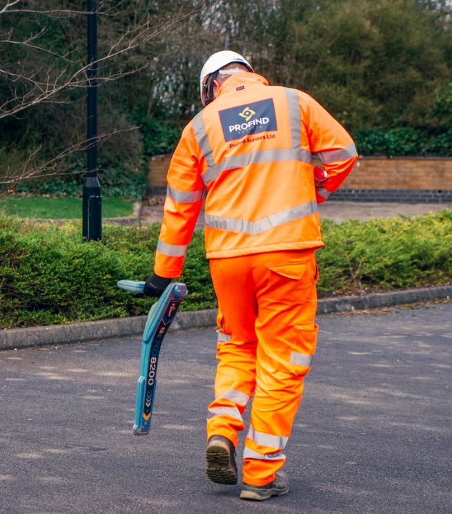
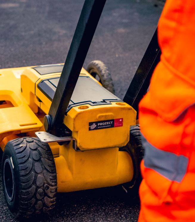
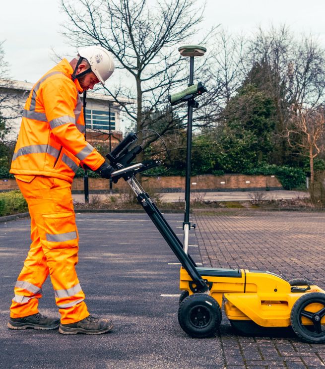
On-site detection using appropriate methods (often EML and/or GPR depending on conditions)
Clear outputs + limitations (no “100% detection” promises — you get an honest picture)
Actionable next steps (what you can do now, and where to trial hole / expose)
We’re upfront about what’s possible and what’s not. Ground conditions, depth, materials and service density all affect detection.

so the scope fits the risk

to meet your project needs

that your design and site teams can use without chasing
A one-page checklist to help you brief a clearance survey properly, so you avoid:
It’s a targeted survey to help confirm whether an area is clear of detectable utilities (or to identify what’s present), so you can plan intrusive works more safely.
Not always. PAS128 is a utilities mapping standard. Clearance is often narrower and tied to a specific work activity and area. We’ll advise what’s right on the scoping call.
No. Nobody can. We explain confidence, limitations, and what exposure/trial holes may still be needed.
We use appropriate methods (often EML and/or GPR). Ground conditions and site constraints affect what’s suitable.
Yes. We can provide 2D CAD drawing packs where required.
Profind Surveys is based in Tamworth and focuses on the Midlands.